News Summary
Tropical Storm Chantal is moving towards the South Carolina coast, with the National Weather Service issuing a tropical cyclone statement. Expected wind gusts of up to 45 mph and rainfall of 1 to 2 inches may result in localized flooding. Residents in vulnerable areas are advised to prepare for impacts and heed safety warnings as the storm approaches.
Charleston, SC – Tropical Storm Chantal is making its way toward the South Carolina coast, with the National Weather Service (NWS) issuing a tropical cyclone statement effective until 4 p.m. today. The statement pertains to several regions, including Inland Colleton, Inland Berkeley, Inland Jasper, Coastal Colleton, Coastal Jasper, Tidal Berkeley, Hampton, Dorchester, Beaufort, and Charleston, as the storm is expected to bring significant wind and rainfall to the area.
Tropical Storm Chantal is currently located approximately 140 miles south-southeast of Charleston, with recorded wind speeds of 40 mph and a slow northward movement at 2 mph. Forecasters predict that the storm will make landfall on the middle and upper South Carolina coast by Sunday morning.
As Chantal approaches, residents can expect breezy northwest winds due to its interaction with high pressure situated to the north. Wind gusts up to 40 mph are anticipated along South Carolina’s beaches, while gusts may exceed 45 mph on elevated bridges within the Charleston Metro area. This increase in wind activity raises safety concerns, with hazardous conditions expected for boating and beachgoers.
Rain bands associated with the storm began pushing onshore as of Saturday morning and are expected to continue throughout Saturday night. Forecasts indicate potential rainfall totals of 1 to 2 inches, especially concentrated in coastal areas. Localized flooding is a concern, particularly in low-lying regions and areas with poor drainage systems, which may be further exacerbated during the late afternoon high tide.
While heavy rainfall may impact Downtown Charleston, widespread flash flooding is not currently predicted. However, given the anticipated rainfall, there remains a possibility for localized flooding that could necessitate emergency rescues in some instances as rising waters affect rivers and streams.
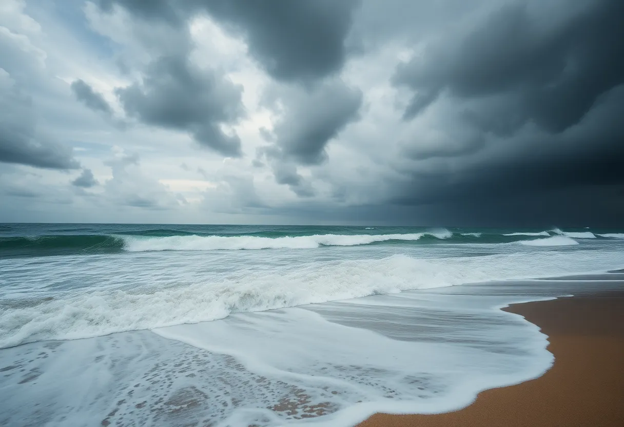
Coastal conditions are also expected to deteriorate, with strong rip currents and significant beach erosion anticipated throughout the weekend. Residents are warned to stay away from the water as gusty winds and increasing wave activity pose serious dangers.
A tropical storm watch remains in effect from Edisto Beach to the South Santee River, meaning that residents in those areas could experience tropical storm conditions (winds of 40+ mph) within the next 48 hours. Warnings also indicate that rainfall accumulations across coastal sections of the Carolinas may reach between 2 to 4 inches, with isolated amounts potentially hitting 6 inches in certain spots.
Storm surge poses another risk, with levels predicted to reach 1 to 3 feet above ground in affected regions. In light of these forecasts, community officials are advising residents to heed local guidance, particularly those residing near water bodies or in vulnerable areas.
Although Charleston County is likely to experience some damage due to the hazardous winds, with possible power outages reported, minimal impacts are expected in the remainder of southeast South Carolina and southeast Georgia. The next statement from the NWS will be released around noon or sooner if necessary, providing residents with timely updates on the storm’s progression.
In summary, residents along the South Carolina coast are urged to prepare for the impacts of Tropical Storm Chantal, which promises to bring gusty winds, increased rainfall, and a risk of localized flooding. Adhering to safety protocols and staying informed will be crucial as the storm approaches.
Deeper Dive: News & Info About This Topic
HERE Resources
Additional Resources
- Live 5 News: Tropical Storm Watch
- Wikipedia: Tropical Storm
- Weather.com: Tropical Depression Chantal
- Google Search: Tropical Storm Chantal
- Count On 2: Tropical Depression Forms
- Google Scholar: Tropical Storms
- Post and Courier: Tropical Depression Three
- Encyclopedia Britannica: Tropical Storm
- ABC News 4: Tropical Depression 3 Forms
- Google News: Tropical Depression Chantal


